How We Monitor Deforestation with Satellite Images: Advanced Techniques and Insights
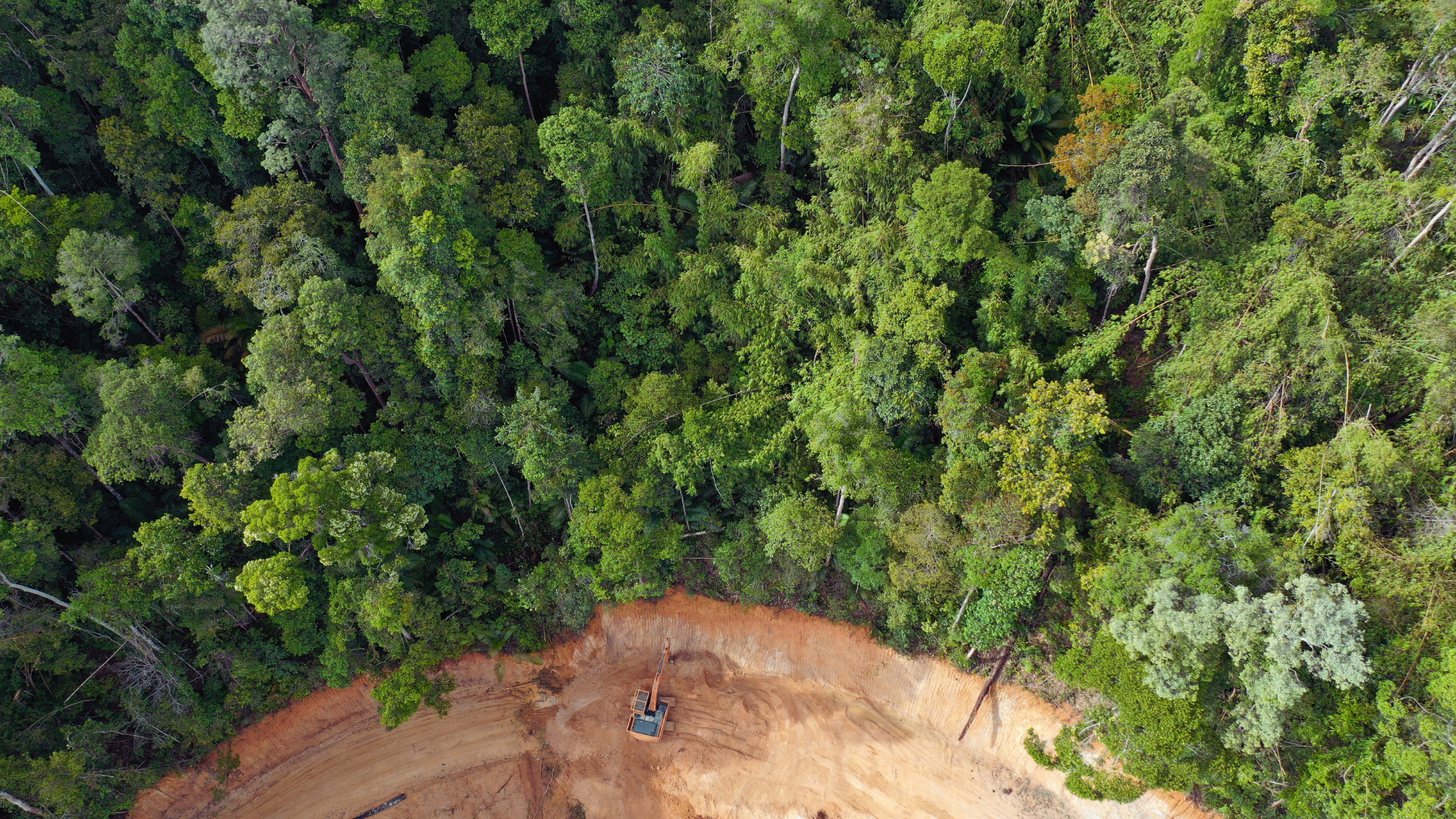
Satellite images have become a crucial tool in monitoring deforestation across the globe. By capturing high-resolution photographs of forested areas, these images enable researchers and conservationists to detect changes in land use over time. This technology provides timely information about deforestation trends, allowing for more effective conservation strategies and policy-making. Through satellite imagery, it is […]